BROULEE BAY FOLKLORE, MYTH & LEGEND
  • Home
  • A to Z
  • People
    • Who Was Where
    • Abbey
    • Arlen
    • Arnold/Whitham
    • Banks
    • Barling
    • Broulee Molly
    • Clark
    • Cooper
    • Dickson
    • Dudley
    • Fatches
    • Fisher
    • Groom
    • Jolley
    • McLaren
    • Matheson
    • Nye
    • Reid
    • Roberts
    • Ryan
    • Sebbens
    • Thornton
    • Turner Family
    • Young
  • Places
    • Anchor Memorial Lookout
    • Broulee Canal Development
    • Broulee Island
    • Broulee Street Names
    • Burrewarra Point
    • Cooks Timber Mill
    • The Creek
    • Mogo Goldfield
    • Mossy Point Second Store
    • The Oaks
    • The Pipi Tree
    • PO Store Muffin Shop
    • The River
    • Shellgrit Bay
    • Tomago/Tomakin/Sunpatch
    • World War 2 Radio Post Bunker
  • Events
    • Art On The Path
    • Broulee Floods 1975
    • Loss Of The Rover 1841
    • Loss Of The John Penn 1879
    • Loss of the Dureenbee 1942
    • Loss of the Ocean Odyssey 2005
    • Rally For Recovery Sales
    • Sand Modelling Competition
    • Shipwrecks and Ship Building
    • World War 2
  • Gallery
    • Gallery: Creek Photos
    • Gallery: Fashion Scene
    • Gallery: Features & Oddities
    • Gallery: Houses
    • Gallery: Maps
    • Gallery: Shipwrecks
    • Gallery: Travel
    • Gallery: World War 2

Gallery: Travel

To enlarge, click Ctrl and '+'. To restore, click Ctrl and '0' (zero).
Picture
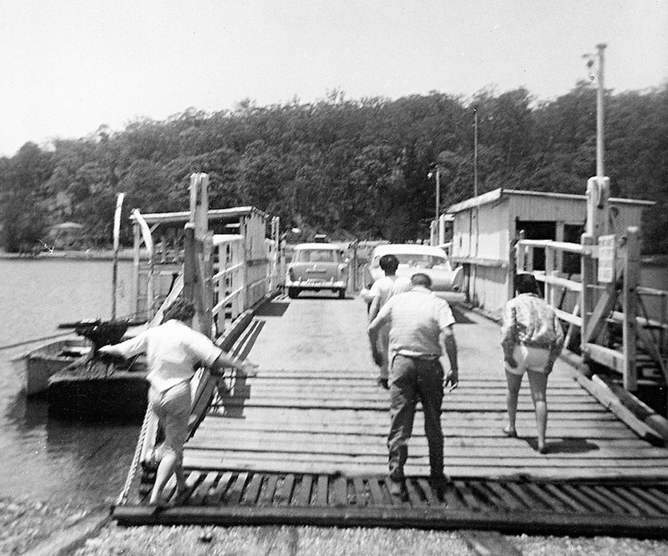
Nelligen Punt c1958. EM.
Picture
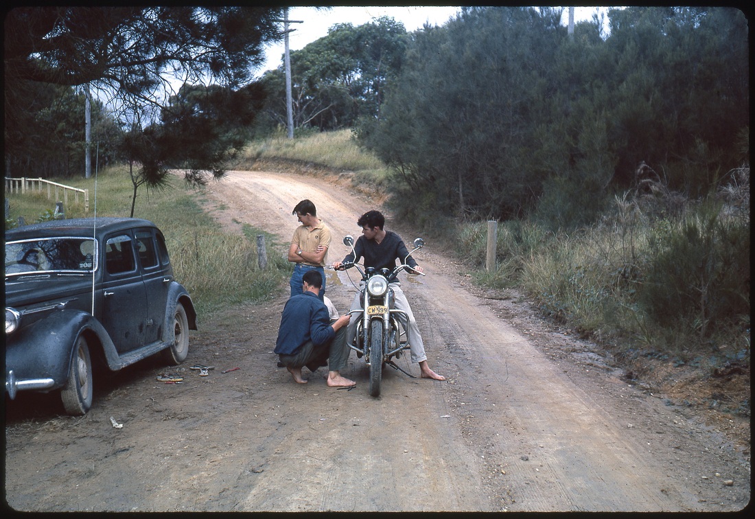
Bob Moon (standing), Lindsey Wilson, Tony Sweeting. RF.
Picture
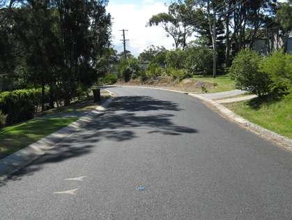
Two photos of the same stretch of road, outside 119 Annetts Pde Mossy Point.  1963 and 2014. RF.


Picture
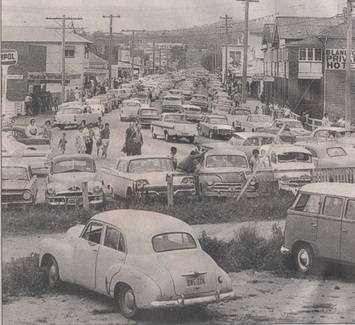
Batemans Bay in 1964
Picture
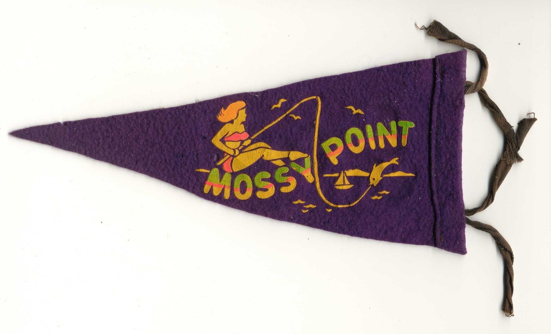
Car radio aerial pennant 1965. RF.
Picture
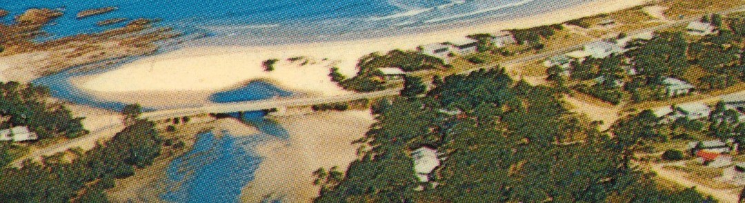
The bridge over Candlagan Creek was officially opened at the beginning of 1966.  The old Mossy Point road was gravel, the Broulee Road was sealed, so with the bridge travel to and from Mossy Point could be on a sealed road.  From a 1966 postcard. RF.
Powered by Create your own unique website with customizable templates.